t we were soon down in warmer climes with denser air- whew. All of those high alto plano cities that are 2 miles or so up are difficult for me . I have to be careful not to lose my breath, which is not pleasent. Where it is too high and cold for corn, they grow potatoes, favas and quinoa. Corn, bananas and tropical things are grown around Corioco, which is very lush. I like the Sol y Luna, but there are numerous nice places to stay and eat in Corioco. Some really good gourme places to eat as well as decent cheap fare in the mercado. Read they are planning to keep the old road for bicycles after they open the new one. Is it open yet? ?Que paso? Been a lot of paving going on up there last few years. This last trip I* went Huancayo, Ayacucho, Huandaylas, Abancay, Cuzco for the second time. Lots of new pavement- but still some hair raising narrow edge of the abbiss gravel tracks that these marco polo big busses crawled along on almost every bus ride. Some very nice busses, also. I was on cama busses for all of the blockades and slept well .
some how I lost the first part of this post. Hope this gets posted in the right place, as generally I dislike the right, especially the right wingers we have now. The shrub sure is a loser. How much money has he lost for us in Iraq? How many lives? So what I need to explane is how we ended up on our way down to Coroico on bicycles. After Julia and John's stint in the peace corp in Paraguay, I met them in Bolivia, and from La Paz, we did the gravity assisted mountain biking trip, dropping from a cold, wet, 16,000 feet to Coroico's lush, tropical 6,000 foot elevation. It's called the world's most dangerous road. Very spectacular. They are building a new paved road, supposed to be done now and they were going to continue to use the old one fore bikes. ?Que paso? Need to post my picture of the road.
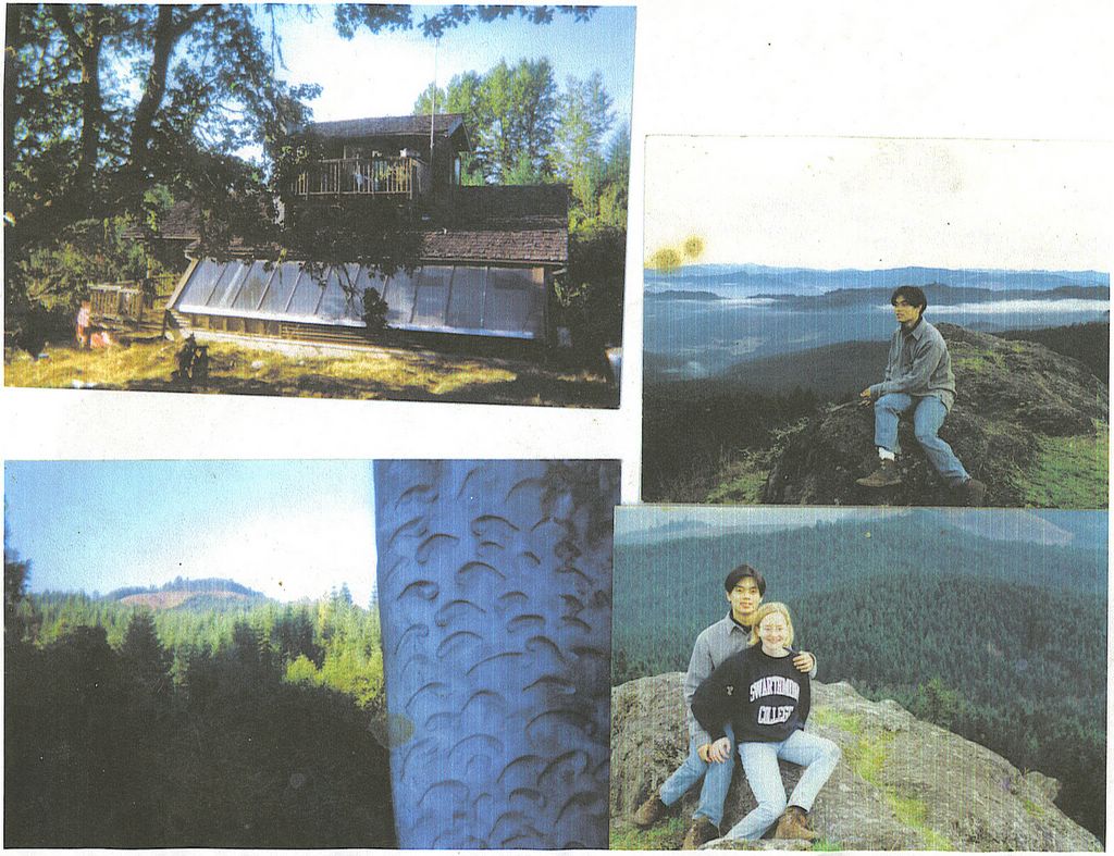
Look around my blog. I have some pictures- a bunch are in my oldest archives. I have some things to say, some of which is rather corny. Do you like corn? I hope so, for choclo means corn.
2 comments:
t we were soon down in warmer climes with denser air- whew. All of those high alto plano cities that are 2 miles or so up are difficult for me . I have to be careful not to lose my breath, which is not pleasent. Where it is too high and cold for corn, they grow potatoes, favas and quinoa. Corn, bananas and tropical things are grown around
Corioco, which is very lush. I like the Sol y Luna, but there are numerous nice places to stay and eat in Corioco. Some really good gourme places to eat as well as decent cheap fare in the mercado. Read they are planning to keep the old road for bicycles after they open the new one. Is it open yet? ?Que paso? Been a lot of paving going on up there last few years. This last trip I* went Huancayo, Ayacucho, Huandaylas, Abancay, Cuzco for the second time. Lots of new pavement- but still some hair raising narrow edge of the abbiss gravel tracks that these marco polo big busses crawled along on almost every bus ride. Some very nice busses, also. I was on cama busses for all of the blockades and slept well .
some how I lost the first part of this post. Hope this gets posted in the right place, as generally I dislike the right, especially the right wingers we have now. The shrub sure is a loser. How much money has he lost for us in Iraq? How many lives? So what I need to explane is how we ended up on our way down to Coroico on bicycles. After Julia and John's stint in the peace corp in Paraguay, I met them in Bolivia, and from La Paz, we did the gravity assisted mountain biking trip, dropping from a cold, wet, 16,000 feet to Coroico's lush, tropical 6,000 foot elevation. It's called the world's most dangerous road. Very spectacular. They are building a new paved road, supposed to be done now and they were going to continue to use the old one fore bikes. ?Que paso? Need to post my picture of the road.
Post a Comment